Interactive Census Map
Details
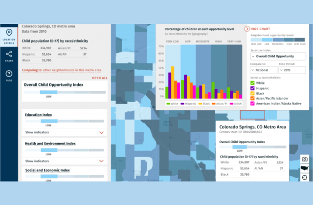
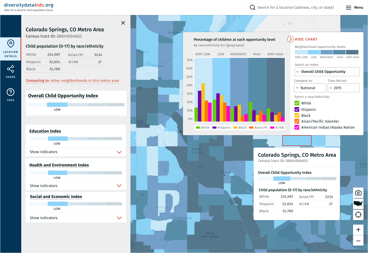
Product: Interactive map of child opportunity in census tracts within the US
Research: My research included reviewing child opportunity research papers and the datasets that served as the basis for the map. I searched for similar representations of academic data through maps, and spoke with stakeholders regarding how the map would be used. The user base for this project ranged from journalists to academic researchers to public officials, so understanding the user’s varying needs required significant legwork.
View the Map
Design: I worked in Figma for this project to encourage interactive communication with the project manager and developers.
Tools: Figma; Slack

